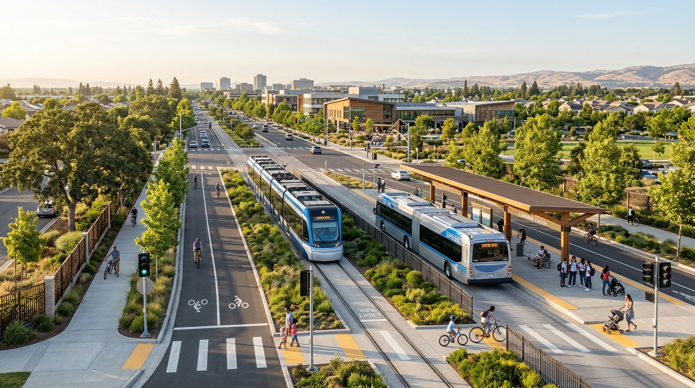
Elk Grove moved an important transit proposal forward in April 2026, but residents should not expect trains or rapid buses to appear immediately. The City Council accepted an implementation plan studying how high-capacity transit could extend south from the current Sacramento Regional Transit Blue Line terminus at Cosumnes River College.
The plan evaluates light rail transit, bus rapid transit and combinations of both along Bruceville Road and Big Horn Boulevard toward District56, Kammerer Road and the area near State Route 99. It gives the City and Sacramento Regional Transit a clearer framework for environmental review, engineering, funding applications and future decisions. It does not select a fully funded project or establish a construction date.
Headlines about a “Blue Line extension” can make the proposal sound settled, but major choices remain involving the transit mode, station design, travel time, cost and regional connections. Residents can review the official Elk Grove transit implementation plan and follow our Elk Grove community updates.
What Elk Grove’s 2026 Transit Decision Actually Approved
On April 22, 2026, the Elk Grove City Council accepted the Blue Line/Bus Rapid Transit to Elk Grove Implementation Plan. Accepting the document allows planning work to continue, but it is not the same as authorizing construction. A final project would still require a preferred alternative, environmental clearance, more detailed engineering, agreements with Sacramento Regional Transit and a realistic funding package.
The corridor begins at Cosumnes River College, where SacRT’s Blue Line currently ends, and generally follows Bruceville Road and Big Horn Boulevard toward southern Elk Grove. The study responds to population growth, congestion and the need for stronger connections between neighborhoods, jobs and regional destinations.
The Four Transit Alternatives Studied
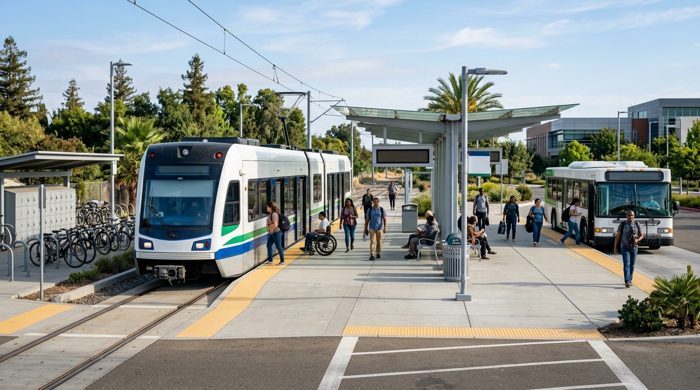
The implementation plan compared four build alternatives rather than one fixed design. They range from a shorter rail extension paired with rapid bus service to a complete light rail route reaching Kammerer Road. The alternatives share a general north-south corridor but differ in vehicle type, station count, right-of-way and cost.
Light Rail to District56 or Kammerer Road
One alternative would extend light rail about 3.6 miles from Cosumnes River College to District56, adding three rail stations. Bus rapid transit would continue south from that point toward Kammerer Road. This phased approach could bring rail into the central part of Elk Grove while using a less expensive bus service for the southern segment.
Another alternative would continue light rail for roughly 6.4 miles to Kammerer Road, creating as many as seven new rail stations. This provides the clearest one-seat rail connection through the city, but it is also among the most expensive options because it requires track, power systems, stations and a dedicated operating corridor across a longer distance.
A full rail extension could be easier to use because riders would remain on the same Blue Line train. Its value would still depend on frequency, total travel time, station access and connections beyond the existing line.
Bus Rapid Transit and the Hybrid Rail Option
The bus rapid transit alternative would operate for approximately 7.4 miles from Cosumnes River College toward the area near Sky River Casino. Unlike a normal local bus, well-designed BRT can use dedicated or center-running lanes, priority at traffic signals, larger stations and frequent service to reduce delays. The studied route could include more stops than the rail alternatives and may cost considerably less to construct.
The fourth alternative would extend light rail approximately 6.4 miles to Kammerer Road while allowing trains to operate in mixed traffic along part of Big Horn Boulevard. That may reduce separated infrastructure, but traffic conflicts could make service less predictable.
The study’s broad estimated cost range runs from about $287 million to more than $1 billion, depending on the alternative and level of infrastructure. Those figures are planning estimates, not final construction bids. As of the plan’s acceptance, no complete funding package had been secured.
Where the Proposed Stations Could Go
The first phase identified in the planning work would focus on the northern section closest to Cosumnes River College. Proposed early stations include the Bruceville Road and Big Horn Boulevard area, Big Horn Boulevard near Laguna Boulevard and District56. Farther-south concepts include stops near Whitelock Parkway and the developing areas around Bilby and Kammerer roads.
Why Station Location Matters More Than a Dot on a Map
A station succeeds only when people can reach it safely and conveniently. Future planning needs to address sidewalks, protected crossings, bicycle routes, shade, lighting, bus connections, passenger drop-off areas and parking where appropriate. A station surrounded by wide roads and disconnected development may attract fewer riders than one integrated with homes, workplaces, parks and daily services.
District56 could become an especially important destination because it already contains civic, recreation and event facilities. It is also near the planned Project Elevate mixed-use district. Coordinated planning could allow residents to combine transit with restaurants, shopping, public events and recreation instead of treating the station only as a commuter parking location.
Southern stations would serve areas that are still developing. Planning safe access before every parcel is built could produce a more walkable result.
What Light Rail or BRT Could Mean for Elk Grove Residents
High-capacity transit could give more residents an alternative to driving on Highway 99 and local arterial roads. Potential users include downtown Sacramento commuters, students, seniors, workers without reliable cars, event visitors and households that want to reduce the number of vehicles they own. Better regional service could also make it easier for people elsewhere in Sacramento County to visit Elk Grove businesses and events.
The current system is not disappearing while the long-range project is studied. SacRT already provides fixed-route local, commuter and paratransit services in Elk Grove. Riders should continue using the official SacRT Elk Grove service information for present-day routes and schedules rather than planning around proposed stations.
Potential Benefits, Trade-Offs and the Long Road Ahead
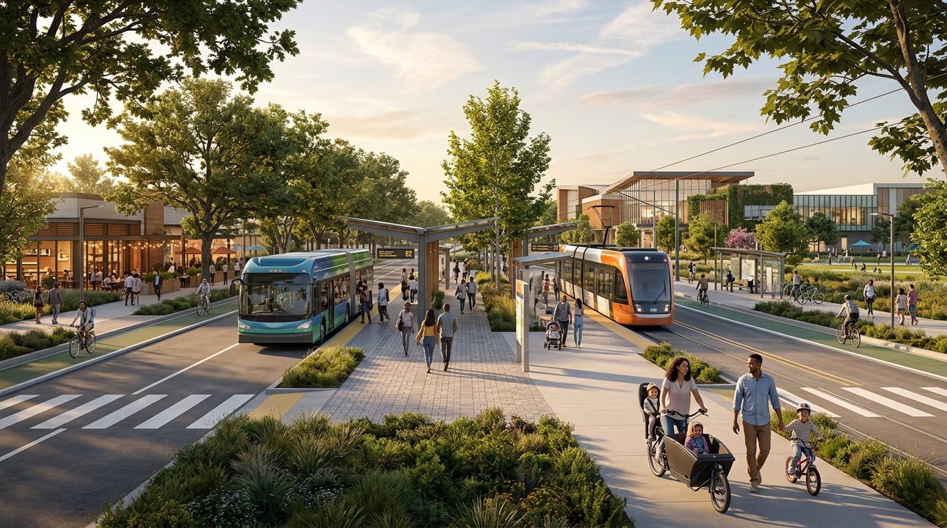
The strongest benefit would be a reliable connection that allows riders to avoid traffic and parking costs. Transit could support access to District56, future development, community events and Sacramento destinations. Station-area investment may also encourage housing and services within walking distance, provided development rules prioritize useful public spaces instead of isolated parking lots.
Rail requires a major upfront investment and many years to plan and construct. BRT is less expensive and more flexible, but its quality depends on dedicated space and frequent service. A “rapid” bus spending too much time in normal traffic may offer little advantage over driving.
Construction could affect nearby roads, businesses, schools and neighborhoods. Residents have also raised questions about crossing safety, traffic circulation, noise, security and whether the proposed route provides a fast enough connection to central Sacramento. These concerns need detailed design responses rather than simple promises that transit will solve congestion.
What Residents Should Watch Next
The next meaningful milestones will involve selection or refinement of a preferred alternative, environmental review, agreements between the City and SacRT, station-area planning and funding. Residents should pay attention to whether future documents clearly answer the following questions:
- Will the project use light rail, BRT or a phased combination?
- How often will service operate during weekdays, evenings and weekends?
- How long will a trip from central Elk Grove to downtown Sacramento take?
- Which parts of the route will have dedicated transit lanes or tracks?
- How will students, pedestrians and cyclists cross the corridor safely?
- Will local buses be redesigned to connect efficiently with the new stations?
- Where will construction and long-term operating money come from?
- How will the project connect with Project Elevate, District56 and southern growth areas?
Funding will be the hardest question. The implementation work identifies state and federal grants and a possible future local sales-tax measure among potential sources. Grant programs usually require strong ridership, land-use and local-funding evidence, so the City cannot simply choose the most expensive alternative and assume outside agencies will pay for it.
Residents
Residents should judge the project as part of a complete network. Feeder buses, safe walking routes, bicycle connections and useful service hours will determine whether people can actually leave their cars at home.
The 2026 plan is meaningful because it moves the discussion from a general idea to defined routes, stations, costs and implementation steps. It does not guarantee that a train will reach Kammerer Road or that rapid buses will begin operating soon. The project remains a long-term effort requiring technical review, public participation, regional coordination and major funding decisions.
Elk Grove Living will continue tracking the proposal as details become more concrete. In the meantime, explore our free and affordable Elk Grove activities, new Elk Grove restaurant guide, local events and Elk Grove Weekend Guide.